Regional Paved Trails
Experience more than 340 miles of connected trails.
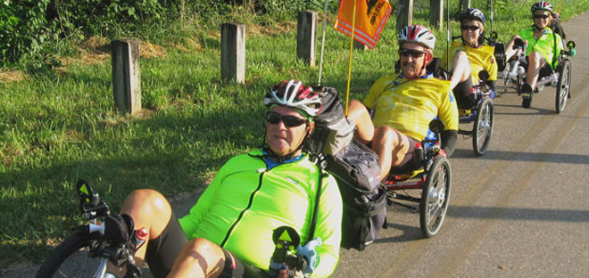
Our rivers and creeks, along with abandoned rail systems, provide the linear corridors that made many of the 340 miles of off-road trails possible – the Nation’s Largest Paved Trail Network. They connect trail users with diverse natural experiences on bicycle, foot, skates, wheelchair or strollers, as well as connecting communities, downtowns, art and cultural destinations, and parks throughout southwestern Ohio.
Creekside Trail
Overview
Five Rivers MetroParks manages the Creekside Trail from Eastwood MetroPark to the Greene County line. This east-west trail connects with the Mad River Trail which leads to the Great Miami River Trail, downtown Dayton and the Bike Hub at RiverScape MetroPark. The Creekside Trail provides a critical crossing over I-675 and connects the two hubs of the trail network in the Miami Valley: Xenia and Dayton.
Path
Creekside begins at Eastwood MetroPark, passing through both residential and commercial areas before meeting its intersection with the Iron Horse Bikeway near US 35. Here, Creekside heads due east along the highway, and eventually passes over the Montgomery County line into Greene County.
Once in Greene County, the trail navigates through two wetland areas, providing an extraordinary view of rare plants and animals. One of these is the Creekside Reserve, which begins at Factory Road and runs along the south side of the bikeway near North Fairfield Road. Crossing the 140-foot bridge over Shawnee Creek at the James Ranch, you can commute to the Fairgrounds Recreation Center Park, Mullins Pool, the Greene County Fairgrounds and the Little Miami Scenic Trail.
Counties: Montgomery, Greene
Mileage: Total — 17.8, Region — 14.9
Surface: Asphalt
Start: Eastwood MetroPark, End: Xenia Station
Contact Info: Five Rivers MetroParks, 937-275-7275; Greene County Parks & Trails, 937-562-7440
Great-Little Trail
Overview
Five Rivers MetroParks manages the Great-Little Trail from the Great Miami River and through the beautiful and diverse habitats of the Medlar Conservation Area. The path leads riders through wetlands, ravines, and mature forest to a hilltop vista. This east-west trail connects with the Great Miami River Trail to Washington Township.
This trail is unique in that it does not follow a river corridor, includes a beautiful hill to ride up or coast, and connects a major retail district (Austin Landing) to the Nation’s Largest Paved Trail Network.
Path
The Great-Little Trail begins at the Great Miami River and will eventually end at the Little Miami Scenic Trail along the Little Miami River, at Corwin or Spring Valley. Completed sections now run from Crains Run Park in Miami Twp. to Austin Landing and down Austin Boulevard and Social Row in Washington Twp., where it ends for now.
Austin Landing provides a convenient stop with a bike hub with covered bike storage, restrooms, a fix-it-station, bike pump, and lockers.
Counties: Montgomery (soon Butler, Warren)
Mileage: Total — 7.79, Region — 7.79
Surface: Asphalt
Start: Great Miami River Bikeway north of Crains Run Park south of Miamisburg
End: Social Row in Washington Twp
Contact Info: Five Rivers MetroParks, 937-275-7275; Miami Twp, 937-433-9969
Recommended rides
Access the trail from the Great Miami River Bikeway north of Crains Run Park south of Miamisburg, or from MetroParks’ Medlar Conservation Area at the southwest corner of Medlar Road and Miamisburg Springboro Pike and ride through the Medlar Conservation Area for a 2.5 mile scenic ride.
Great Miami River Trail
Overview
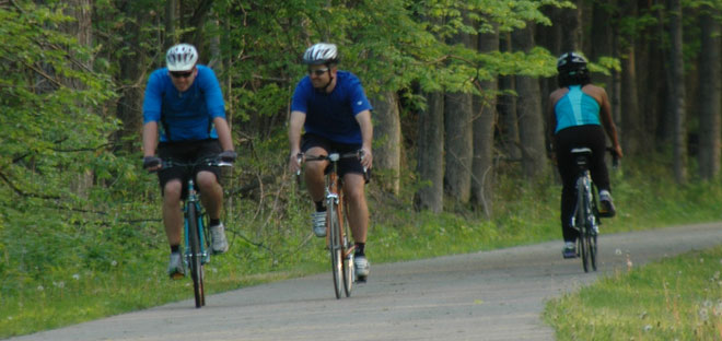
From urban skylines to beautiful river vistas, the Great Miami River Trail has something for everyone. The trail winds its way near parks, museums, picnic facilities, acres of natural land and over gently rolling terrain—a perfect match for the runner, skater or cyclist. The heart of the paved trail network, the 57-mile Great Miami River Trail passes through several MetroParks including RiverScape, Deeds Point, Island, and Taylorsville.
An alternate route follows the northwest bank of the Great Miami River for 4.4. miles from the University of Dayton’s baseball fields to Sunrise and Island MetroParks.
Path
Users of the 57 continuous miles between Franklin and Piqua will enjoy modern, off-street, paved multi-use trail. Trail designers make an effort to connect the trail to adjacent attractions and neighborhoods via ramps and bike stairs.
The trail travels right through several towns including downtown Dayton, in close proximity to top-notch museums, numerous monuments and RiverScape, home of the Bike Hub, a bike-commuter support facility.
Counties: Miami, Montgomery, Warren
Mileage: Total — 57 (4.4 mile alternate route), Region — 41.1
Surface: Asphalt
Start
Warren & Montgomery Co. Segment: Baxter Street, Franklin
Northern Segment: Kyle Park, Tipp City
Miami Co. Segment: Concord Township Line, Miami County
Miami Co. Segment: Covington-Piqua Trail, Piqua
Alternate Route: University of Dayton baseball field, Dayton
End
Southern Segment: Taylorsville MetroPark
Northern Segment: Nature Center, Tipp City
Northern Segment: Marina District (Boat House), Troy
Northern Segment: Johnston Farm, Piqua
Alternate Route: Island MetroPark, Dayton
Contact Info: Five Rivers MetroParks, 937-275-7275; Miami Conservancy District, 937-223-1278
Iron Horse Trail
Overview
The Iron Horse Trail connects with the Creekside Trail just south of Eastwood MetroPark near US 35. This 7-mile trail takes users south along the eastern border of Woodman Fen Conservation Area before ending at State Farm Park in Kettering.
Path
The Iron Horse Trail begins at Creekside Bikeway near US 35. From there it travels on asphalt adjacent to Eastown Shopping Center along the abandoned railway corridor, travels along Spaulding Road on a widened concrete sidewalk, and then heads east to the National Guard Armory at County Line Road before ending at State Farm Park.
Counties: Montgomery
Mileage: Total — 7, Region — 7
Surface: Asphalt, Concrete
Start: Creekside Trail, Dayton
End: State Farm Park, Kettering
Contact Info: Five Rivers MetroParks, 937-275-7275; Centerville-Washington Park District, (937) 433-5155
Mad River Trail
Overview
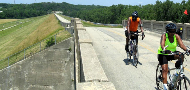
Ride from RiverScape in downtown Dayton to Eastwood and Huffman MetroPark along the scenic Mad River. A majority of the 6.6 mile trail is relatively flat, offering an easy workout that even children will be able to handle—whether biking, skating or walking. At the very eastern end of the route three switchback take you up Huffman Dam for a spectacular view of the Mad River Valley!
Path
The Mad River Trail begins downtown at the Great Miami River Trail in RiverScape MetroPark. It heads east along the river to Eastwood MetroPark and then on to the Huffman Dam at Huffman MetroPark where it connects to the Wright Brothers – Huffman Prairie Trail which takes riders to Wright Patterson Air Force Base and Huffman Prairie. Just east of Huffman MetroPark, the trail connects with the Kauffman Avenue Bikeway which extends to Wright State University and Fairborn. The trail part of the multi-state, 4,600 mile North Country Trail, as well as Ohio’s Buckeye Trail, that continues past Fairborn on-road to Springfield and beyond.
There is a .75 mile alternate route on the north bank of the Mad River that connects Deeds Point MetroPark with an on-street bike lane on Valley Street just west of Dayton Children’s Hospital in Old North Dayton.
Counties: Montgomery
Mileage: Total — 6.6 (with .75 alternate route), Region — 6.6
Surface: Asphalt
Start:
RiverScape MetroPark, Dayton
Alternate Route: Deeds Point MetroPark, Dayton
End: Huffman MetroPark, Dayton
Alternate Route: Valley Street, Dayton
Contact Info: Five Rivers MetroParks, 937-275-7275; Miami Conservancy District, 937-223-1278
Stillwater River Trail
Overview
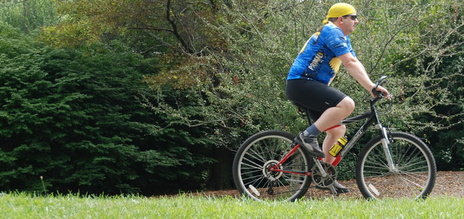
Lining the banks of the scenic Stillwater River are some of the region’s largest stands of sycamore, maple and ash trees. Lush in spring and summer, and ablaze with color in the fall. The Stillwater River Trail passes through Island, Wegerzyn Gardens and Englewood MetroPark and provides runners, skaters and cyclists with serene and diverse terrain.
Path
The Stillwater trail has two segments. The central segment starts its journey in Island MetroPark and runs past the bandshell on its way across the bridge through Triangle Park and along DeWeese Parkway, home to the Boonshoft Museum of Discovery. Further ahead, the trail passes through Wegerzyn Gardens MetroPark and ends at Sinclair Park, just west of Shoup Mill Road.
The northern segment connects Grossnickle Park to Englewood MetroPark. It passes through the relief spillway of the Miami Conservancy District’s earthen dam, along the base of the dam, and winds its way through Englewood MetroPark, ending at U.S. Route 40. Trail users can also follow a spur northward to Englewood MetroPark’s West Park.
Counties: Montgomery
Mileage: Total — 5.3, Region — 5.3
Surface: Asphalt
Start:
Central Segment: Island MetroPark
Northern Segment: Grossnickle Park
End:
Central Segment: Sinclair Park
Northern Segment: Englewood MetroPark
Contact Info: Five Rivers MetroParks, 937-275-7275; Miami Conservancy District, 937-223-1278
Wolf Creek Trail
Overview
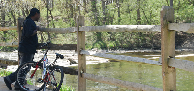
Take a short side trip from the Great Miami River Trail onto the Wolf Creek Trail at Sunrise MetroPark. This flat, urban trail takes users to points of the Dayton Aviation Heritage National Historical Park and on to Wesleyan MetroPark. The northwestern portion follows a slightly uphill grade for most of the way to Brookville as it passes farms with cows, horses, sheep, and llamas in the pastures. The Dull Woods Conservation Area offers a nice pit stop along the trail, with a boardwalk through the region’s most pristine Swamp Forest remnant.
Path
The Wolf Creek Trail has two segments. The central segment begins where Wolf Creek intersects the Great Miami River near downtown Dayton at Sunrise MetroPark. Heading northwest, the trail follows along the creek through west Dayton past Adventure Central at Wesleyan MetroPark and ends at Little Richmond Road. It also connects with the The Paul Laurence Dunbar Bikeway that takes users to points on the Dayton Aviation Heritage National Historical Park. The northwestern segment runs through western Montgomery County. The route follows an historic rail corridor, making a beeline for Brookville and Verona, Ohio. This portion is relatively flat for most of its length, and it passes alongside Sycamore State Park.
Counties: Montgomery
Mileage: Total — 16, Region — 16
Surface: Asphalt
Start:
Central Segment: Wolf Creek at the Great Miami River, Dayton
Northwestern Segment: Vickwood Lane, Trotwood
End:
Central Segment: Little Richmond Road, Dayton
Northwestern Segment: Verona
Contact Info: Five Rivers MetroParks, 937-275-7275


